Argo Saronic Gulf
Argosaronic Gulf is a term used to describe the adjacent Saronic Gulf and Argolic Gulf.
Saronic Gulf defines the eastern side of the Isthmus of Corinth and includes the islands of Aegina, Angistri, Salamis and Poros although many smaller islands and islets belong also to this area. The name Saronic comes from the mythological king Saron who while hunting was drowned in the sea, so the gulf between Attica and Argolis was, from this circumstance, called the Saronic Gulf.
It worth mentioning that at these waters, in the straits between Attic mainland and Salamis Island, took place in 480 BC, the battle of Salamis between an alliance of Greek city states and Persian Empire. The Greek fleet achieved a decisive victory. Some historians believe that a Persian victory would have blocked the development of ancient Greece and by extension western civilization and from this respect battle of Salamis is one of the most significant in human history.
Argolic Gulf on the other side is a gulf of the Aegean Sea off the east coast of Peloponnese. Its main port is Nafplio which was an important seaport during Middle Ages and the capital of the First Hellenic Republic (1823). At the entrance to the gulf is the picturesque and historic island of Spetses.
This archipelago includes also the islands of Hydra and Dokos which lie off the northeast tip of Peloponnese between Saronic and Argolic Gulf.
A great advantage of Argosaronic Gulf in terms of sailing is that due to Attic mainland and Peloponnese mountains, is that it is partially protected from the summer North winds (known as “Meltemi”) that can reach Force 7 and above further to the east in Aegean islands.
Poros
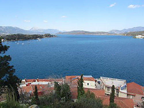
Its’ surface area is about 31 km² and it has approximately 3.800 inhabitants. Like other ports in the Saronic, it is a popular weekend destination for travellers all year round as it is easily accessible either by ship or by car from mainland.
As we approach the island from the northwest side and we turn left on the strait you will admire the picturesque town of Poros that has been declared protected settlement and is built in the shape of amphitheater over two hills.
Lush pine trees vegetation, crystal clear beaches, a lively waterfront adorned with shops, cozy cafes and restaurants will complete your very first impression for the island. Poros can be together quiet and cosmopolitan depending on your interests and places you choose to visit that’s why it attracts visitors from all age groups.
Spetses
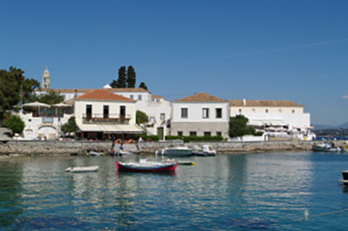
It was the first of the Greek islands that raised the flag of Revolution the morning of 3 April 1821. In addition to this, it’s very picturesque and local architecture together with pine trees gives the island a unique character.
An unusual aspect of Spetses is the absence of private automobiles in the town limits. Take a romantic trip around the island in horse-drawn carriages and admire the grand mansions adorning the narrow cobbled streets of the island.
Spetses was the basis for the island of Phraxos in John Fowles' 1965 novel "The Magus".
Nafplio
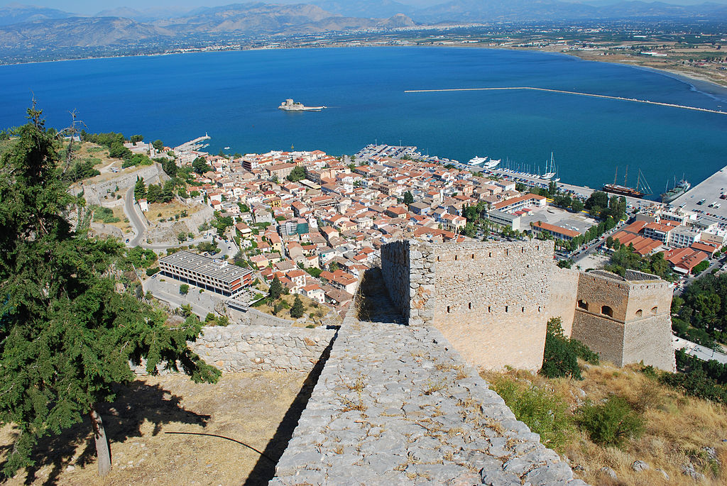
Acronafplia is the oldest part of the city and until the thirteenth century, it was a town on its own. The arrival of the Venetians and the Franks transformed it into part of the town fortifications.
In 1685, the Venetians strengthened the city by building the castle of Palamidi, which was in fact the last major construction of the Venetian empire overseas.
You can admire Palamidi on a hill north of the old town. Nafplion maintains a traditional architectural style with many traditional-style colourful buildings and houses, partly influenced by the Venetians, because of the domination of 1338-1540.
Ermioni
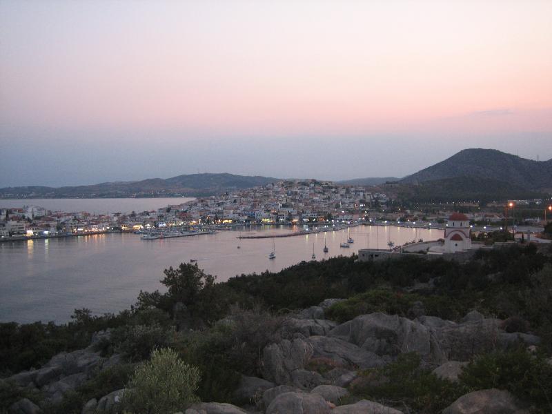
At the Eastern end of the town, is the archaeological pine-cladded forest area called the Bisti. Here one can enjoy leisurely walks at any time of the day, as there is plenty of shade, and visit the 5th Cen. BC temple of Athena, and other ancient, Byzantine and medieval monuments.
You can also swim in the clear blue sea, from the rocky coves along the Southern side of the Bisti, which overlook the islands of Dokos and Hydra.
The sea surrounds the town from three sides, giving the feel of being on an island, but without the possibility of being stranded in adverse weather conditions.
Hydra
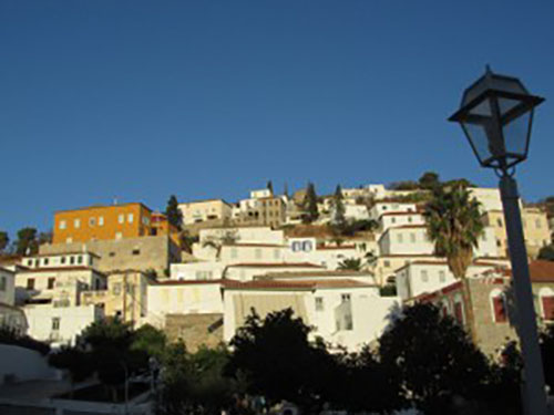
Hydra Museum (next to ferry dock). Small but reasonably well-presented museum on the seafaring ways of the Hydriots and their disproportionate contributions to Greece's many wars.
Some old Hydriote mansions have been restored as museums illustrating the traditional life of Hydra's splendid past; they are usually listed on island maps available locally.
Aegina
From 11/1/1827 until 3/10/1829 Aegina town was the temporary capital of the newly founded Greek state. It was during that period that impressive neoclassical mansions were built to house Governor’s headquarters that today are important tourist attractions.
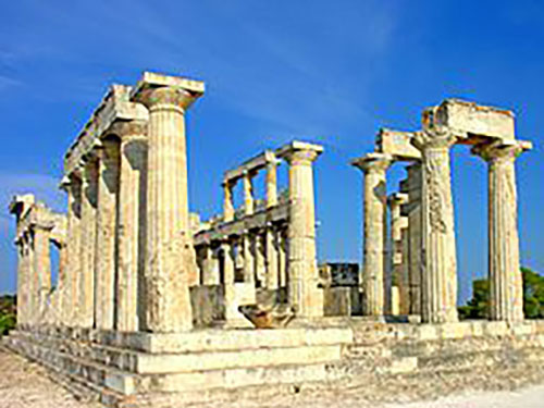
The island has a great number of sights and natural beauties, highlight of which is the famous Aphea Temple. It forms in fact an equilateral triangle with the Parthenon and the Temple of Poseidon at Sounion, the so-called “holy triangle” of the antiquity.
The city of Aegina is the capital city of the island and it’s built amphitheatrical towards the sea.

